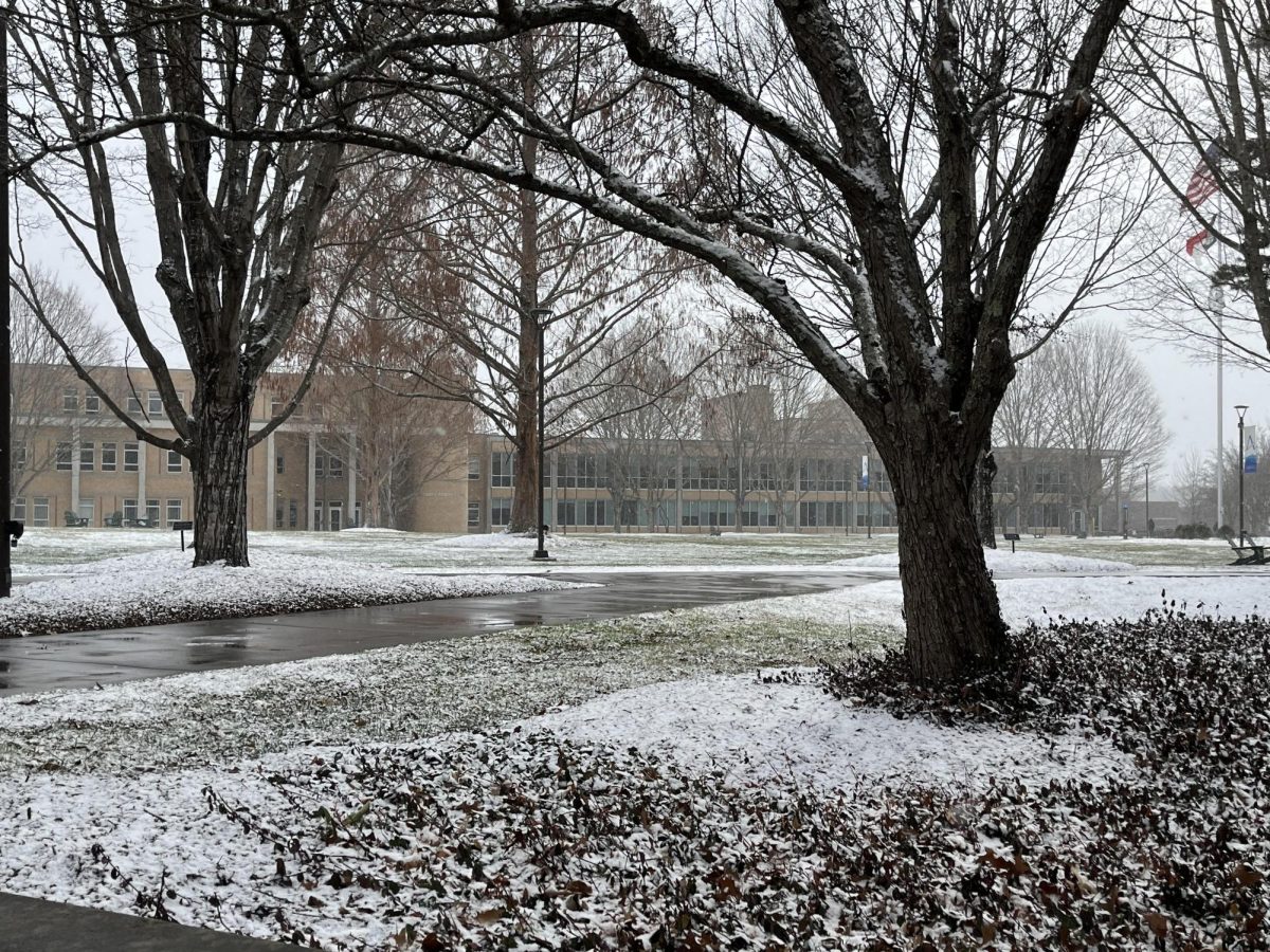
With Punxsutawney Phil predicting an early spring for the United States, many here at UNC Asheville are left wondering if they’ll get to see a winter wonderland before the flowers start to bloom.
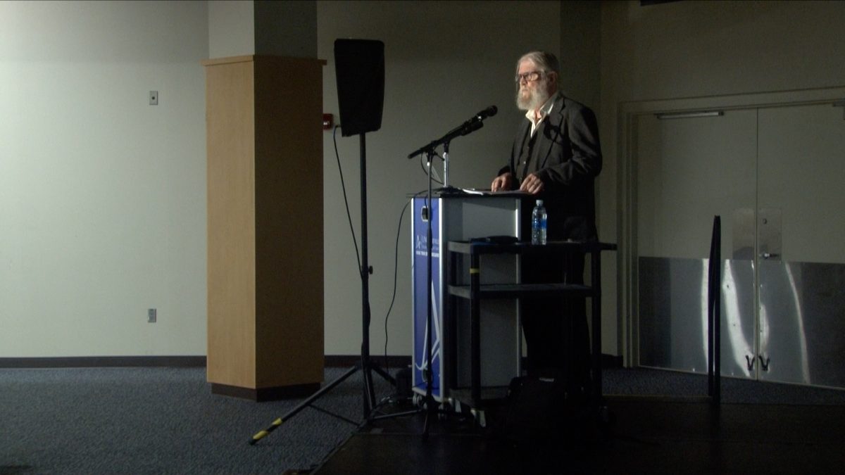
“Our students get very excited when rumors of snow start flying. Many have been known to chase the snow and drive to the N.C.-Tenn. border to have the best chance of observing dramatic snowfall rates,” Atmospheric Science professor George Miller said.
Despite the student enthusiasm for braving harsh conditions when traction is questionable and visibility is poor, Miller said there are two factors making snowfall in Asheville more rare than one might hope.
“El Niño activates the right kinds of storms. The type that moves across the Gulf of Mexico to our south and, potentially, brings lots of snow to Asheville. The other factor is to get cold air to Asheville at the same time the gulf low is moving through our region to the south. Getting both components happening at the right time makes these events relatively rare,” Miller said.
According to professor Miller, the cold air source has been shrinking measurably over the last several winters. Asheville’s location in the French Broad River Valley also affects the nature of its weather patterns.
“If the mountains take on moisture then the river valleys often make us too warm to observe snow. Weather observers in the mountains living at and above 3,000 feet in elevation often report accumulating snow when we here in Asheville just experience cold rain,” Miller said.
Atmospheric science senior Alex Parker echoed Miller’s sentiment on how the mountains might impact snowfall in the area.
“The mountains can sometimes act as a wall protecting us from heavy snowfall, but sometimes they enhance the snowfall. Which one you get depends on the environmental conditions,” Parker said.
The events bringing Asheville the most snow are northwest flow snow events, according to Parker.
“The windward side of the mountain range usually gets more snow accumulation than the leeward side. Lifting enhances precipitation on the northwest side of the mountains during these events. This means Asheville won’t get much snow unless the flow from the northwest is strong enough to ‘push’ snow over the mountains and into the valley,” Parker said.
On Jan. 19 Asheville got a dusting of snow throughout the day, and according to senior Jason Leveille, several of his classmates got distracted during the snow event, and kept looking at radar and their observation tower to see what was happening on campus.
“We all get very excited when there is even a possibility of snow, especially since snow accumulation days on campus have been few and far between for the past couple years. I love watching snow fall, even if it does not accumulate,” said the atmospheric science major.
With only one more month of winter left, the window of opportunity for snowfall continues to shrink. Despite this, it’s best to brush up on winter-related protocols in the chance the temperature in Asheville dips, according to Leveille.
“Always make sure you dress warmly, especially on days where temperatures go well below freezing. If you don’t have the ability to go places where higher accumulations occur, you can go outside when it snows and just enjoy the sight of it falling. That is something I like to do when it snows because of how pretty it can be,” Leveille said.
For anyone who can’t get enough of the snow, greater chances of snowfall are almost guaranteed north of Asheville, along the N.C.-Tenn. border, according to Miller.
“The closer you can get yourself to the spine of the Appalachians, the better the chances of having a lot of fun observing and playing in the snow. The best scenario is to get there in plenty of time and have a place to stay as a back-up plan in case more snow accumulates than expected,” Miller said.


