


By Grace Raper – [email protected] – Editor-in-Chief | Aug. 27, 2014 |
Following an unsuspecting group into the quiet bustle of a near-empty Pack’s Tavern, one man remarked to the hostess, “We’re just the boring engineer guys.” They each chuckled before continuing their way down to the South Bar.
Jennifer Bauer made her way through the room with all the air of someone who does introductions often. She clutched a glass of water in her left hand, leaving her right open to shake with others or give out business cards. Her current business partner Stephen Fuemmeler made idle small talk with his former boss Rick Wooten.
“See, I’m the ‘former’ boss, not the ‘old’ boss,” Wooten said.
“He’s my old, former boss.” Fuemmeler said, finishing the setup for Bauer’s presentation.
Wooten led the state landslide mapping team, which both Bauer and Fuemmeler participated in, until the program lost funding in 2011. Despite the cutting of their positions, Bauer and Fuemmeler continue the mission of mapping each county in Western North Carolina for potential landslide hazards.
“They’re the ones still carrying the torch for me,” Wooten said. “They didn’t jump ship when their positions were cut.”
Partnering with nonprofit organizations, the two scientists found an outreach to the communities they spent years mapping. When Bauer and Fuemmeler agreed to continue their work, they both decided the most important goal would be educating the public.
“People build homes to last, they want to sell them later or give them to their kids,” Fuemmeler said. “What they don’t expect is to lose them in 10 years.”
THE INCITING TRIGGER
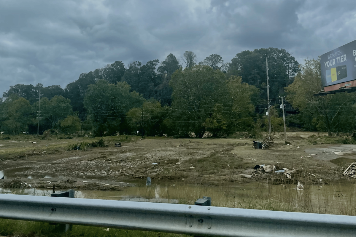
In September of 2004, heavy rainfall from Hurricane Ivan triggered a rapid-moving wall of debris down Fishhawk Mountain in Macon County. Pulling uprooted trees, boulders and rushing water along the mountain slope, when the mud settled at the foothills five people lay dead in the wreckage of 15 splintered homes. The incident would later gain the infamous title of the Peeks Creek Disaster.
“In terms of the numbers of landslides that destroy homes and kill people, it’s the debris flow that’s most important,” said Wooten, standing in his cramped office, surrounded by a halo of maps.
After the 2011 budget cuts, Wooten remains the only member of his team still employed by the state.
Being a fresh face in a field that generally finds itself dominated by men, Bauer became the youngest member of Wooten’s team in 2005 after four years experience in private consulting.
“I applied, not thinking I would get it, since I really didn’t know anything about landslides at the time,” she said. “Then I got a call back, which was great.”
Signing onto the state team meant an ambitious and extensive task. Armed with state and grant funds, the team of geologists began scaling the mountains of Western North Carolina to map potential landslide hazards.
Completing only four of the 19 counties they intended to map, the team lost their funding and Bauer and Fuemmeler lost their jobs. Disappointed in the dismantling of their program and dismayed at the prospect of their work being buried, Fuemmeler hatched a crazy idea.
“It was kind of like, ‘Well, we don’t have anything else to lose, ‘cause we’re already losing our jobs, so let’s see what we can make of it,’” Fuemmeler said. “For me, I didn’t have a choice. I knew that this was so important to me. If I didn’t at least try to offer and continue this, I would always question it.”
A NEW MISSION
After Fuemmeler took the time to explain why the mapping should be continued to help the public understand the dangers of landslides, Bauer agreed.
Currently, Appalachian Landslides Consultants provides onsite inspections for interested builders and homeowners.
However, the biggest goal with their business for Fuemmeler and Bauer involves continuing the mapping they began nearly nine years ago.
In the field, they spend a good majority of their time speaking to homeowners, who may have already sustained damage from landslides.
“We do a lot of knocking on doors,” Bauer said.
According to Fuemmeler, the response of those they meet in the field comes as a surprise.
“Considering how many people we’ve talked to, only less than handful have said they didn’t want us to look at their property,” he said. “I think that’s pretty incredible, especially considering the perception of opposition that’s out there.”
Some opposition to their efforts stems from homeowners and realtors fearing property devaluation if landslides are discovered on their land. Others have voiced their concern to Bauer and Fuemmeler that the mapping will lead to stricter building regulations.
“The maps have nothing to do with regulations,” Bauer said. “They have everything to do with providing information.”
LOOKING AHEAD
The future for Fuemmeler and Bauer holds good prospects. After finishing mapping in Waynesville and Maggie Valley, they received grants to continue their work in WNC.
“We’d like to take it beyond North Carolina. We’ll start close because this is where we live and we want to help the citizens of our state,” Bauer said. “But this information could be applied to any mountainous area.”
In an effort to extend the reach of landslides mapping, Bauer appealed to both the House and Senate on June 23 on behalf of the United States Geological Survey.
Hoping to gain more funding and national attention to the issue of landslide hazards, she put forth both the work she did with Wooten’s team and with Fuemmeler at ALC.
“I’m just providing information and letting them deduce what they will,” Bauer said.
Categories:
Scientists investigate landslides in WNC
August 27, 2014
More to Discover